AUTONOMY & POSITIONING DIVISION

Hexagon's Divisions

Explore Hexagon

Hexagon Agriculture

AGRICULTURE


PPM

ASSET LIFECYCLE INTELLIGENCE

Positioning

AUTONOMY & POSITIONING

Geosystems

GEOSYSTEMS

Hexagon Geosystems
Manufacturing Intelligence

MANUFACTURING INTELLIGENCE

Mining

MINING

Geospatial

Safety, INFRASTRUCTURE & GEOSPATIAL

Positioning

XALT SOLUTIONS

Explore All

Explore Hexagon

Hexagon Agriculture

OUR STORY

SOLUTIONS


Hexagon_HomePage_Pod_3_Sustainability

SUSTAINABILITY


Learn More
  • HXGN AS Logo Horizontal Black Darker
  • Products
    • Products By Category
    • Products By Vendor
  • Industries
    • Automated Mining
    • Precision Agriculture
  • Solutions
    • Autonomous vehicle control
    • Production drive-by-wire
  • Resources
    • Case Studies
    • Velocity Magazine
    • Webinars
  • Support
  • About
    • Vision, Mission and Values
    • Quality Policy
    • Environmental Policy
    • Sustainability
    • Careers
    • Media
    • News
  • Contact
  • Home
  • Products
  • Ouster OS2

Products

Products by Category Products by Vendor

Ouster OS2

Photo of Ouster OS2

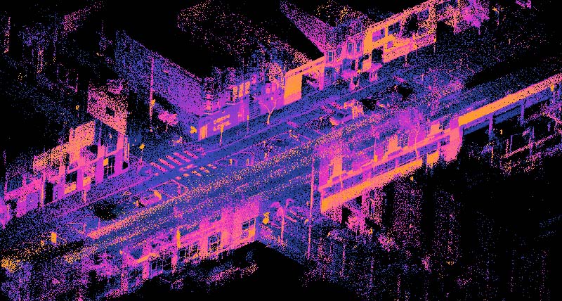
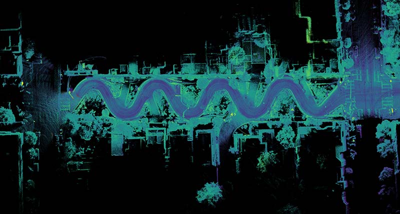
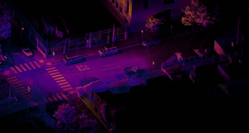
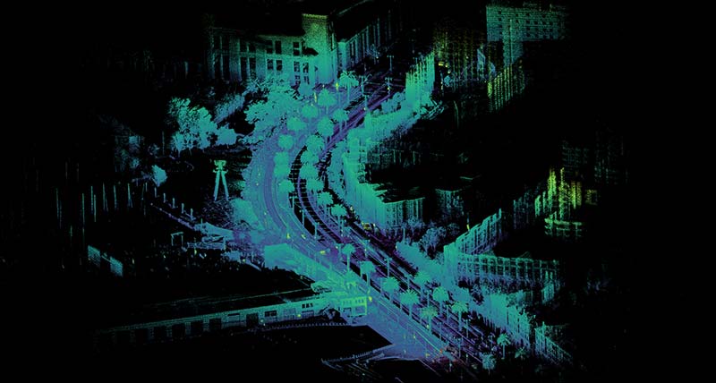
The OS2 offers an industry-leading combination of resolution, range, affordability, performance, reliability, size, weight and power. It is IP68/69K rated and designed for indoor/outdoor all-weather environments. As the smallest and lightest long-range high-resolution lidar on the market, the OS2 can be directly integrated into machinery, robots, drones and fixed infrastructure.

Ouster OS2 Datasheet (Rev 7)

Specification REV7
Range (10% target) 200 m
Field of view (H×V) 360° × 22.5°
Angular resolution (H×V) up to 0.17° x 0.17°
Category

LiDAR Products

Learn more about other LiDAR products

SEE MORE
Brand
Ouster logo

More from Ouster

Learn more about other Ouster products

SEE MORE

Features

  • Fixed resolution per frame
  • Camera-grade near-infrared and intensity data
  • Multi-sensor crosstalk immunity
  • Fixed intrinsic calibration
  • Open source drivers
  • 2× signal processing power and 2x data output per pixel with the new L2X Chip
  • Introducing Dual Return Mode

Specifications

Characteristics

  REV7
Minimum range 0.8 m
Vertical resolution 32, 64 or 128 channels
Horizontal resolution 512, 1024 or 2048 (configurable)
Field of view Vertical: 22.5° (+11.25° to -11.25°)
Horizontal: 360°
Angular sampling accuracy Vertical ±0.01° / Horizontal ±0.01°

Mechanical/electrical

  REV7
Power consumption 18 - 24 W (28 W peak at startup, 30 W peak if operating below -40 °C)
Operating voltage 9 V - 34 V, 12 V or 24 V nominal
Connector Proprietary pluggable connector (Power + data + DIO)
Dimensions Pending results
Weight 1100 g (38.8 oz)
Mounting Bottom: 4x M3 screws, 2x locating 2 mm pin holes, 4x M4 screws, 2x locating 3 mm pin holes, 4x M6 screws
Top: 4x M4 screws, 4x locating 3mm pin holes, 1x M6 Screw

Media

Ouster point cloud image of wikipedia slam
Ouster point cloud image of lombard
Ouster point cloud image of vans
Ouster point cloud image of embarcadero

Downloads

  • Ouster OS2 Datasheet (Rev 7)
HEXAGON © 2025
  • Cookie Policy
  • Privacy Policy
  • Terms & Conditions
  • Website Terms of Use
  • Cookie Preferences
  • Sitemap
  • Compliance
  • Ethics and compliance reporting system
  • Facebook
  • Twitter
  • Linked In
  • Youtube
  • Instagram