AUTONOMY & POSITIONING DIVISION

Hexagon's Divisions

Explore Hexagon

Hexagon Agriculture

AGRICULTURE


PPM

ASSET LIFECYCLE INTELLIGENCE

Positioning

AUTONOMY & POSITIONING

Geosystems

GEOSYSTEMS

Hexagon Geosystems
Manufacturing Intelligence

MANUFACTURING INTELLIGENCE

Mining

MINING

Geospatial

Safety, INFRASTRUCTURE & GEOSPATIAL

Positioning

XALT SOLUTIONS

Explore All

Explore Hexagon

Hexagon Agriculture

OUR STORY

SOLUTIONS


Hexagon_HomePage_Pod_3_Sustainability

SUSTAINABILITY


Learn More
  • HXGN AS Logo Horizontal Black Darker
  • Products
    • Products By Category
    • Products By Vendor
  • Industries
    • Automated Mining
    • Precision Agriculture
  • Solutions
    • Autonomous vehicle control
    • Production drive-by-wire
  • Resources
    • Case Studies
    • Velocity Magazine
    • Webinars
  • Support
  • About
    • Vision, Mission and Values
    • Quality Policy
    • Environmental Policy
    • Sustainability
    • Careers
    • Media
    • News
  • Contact
  • Home
  • Products
  • Waypoint post-processing software from NovAtel

Products

Products by Category Products by Vendor

Waypoint post-processing software from NovAtel

Waypoint post-processing splash page

Leverage your Global Navigation Satellite Systems (GNSS) and inertial data for the best source of truth post-mission with Waypoint post-processing software. Built on decades of positioning expertise and trusted by the companies building maps for the world, Waypoint software maximises the accuracy of GNSS and inertial data from inertial navigation systems (INS) using powerful processing, detailed quality control information and application-specific profiles to streamline your workflow. The software’s Flexible Export Wizard outputs results at any vehicle location in the required data format, rate and coordinate frame to reduce your learning curve and start producing quality results quickly.

Waypoint software supports the development of autonomy systems by delivering an accurate, reliable and resilient source of truth post-mission. Leveraging post-processed output minimises any inertial error growth experienced in real-time to output a smooth truth trajectory with more accurate position, velocity and attitude.

No matter your application, Waypoint software has a product and subscription that meets your post-processing needs.

Request a free trial
Category

GNSS-IMU Products

Learn more about other GNSS-IMU Products

SEE MORE
Brand

More from Hexagon | NovAtel

Learn more about other Hexagon | NovAtel products

SEE MORE

Inertial Explorer

As Waypoint software’s flagship product, Inertial Explorer (IE) maximises post-mission performance of your GNSS+INS hardware by outputting a truth trajectory with centimetres-level position, velocity and attitude accuracy no matter where in the world you operate. IE supports loosely coupled and tightly coupled processing modes for integrating GNSS and inertial data, delivering highly precise results even when lower grade inertial sensors are used, including high-end fibre optic gyro (FOG) or ring laser gyro (RLG) IMUs and lower grade sensor technology like micro electrical mechanical systems (MEMS). 

With built-in workflows and a flexible project wizard, you can reduce your learning curve and product quality results quickly. Automated processing environment detection for static and kinematic profiles uses appropriate processing settings to automatically streamline your workflow. For more experienced users, a wide range of processing configuration options are available to fully customise your workflows for your unique application.

Inertial Explorer screenshot

Features
  • IE fully supports major constellations and frequencies, including GPS L1/L2/L5, GLONASS L1/L2, BeiDou B1I/B2I/B3I/B1C/B2A, Galileo E1/E5a/E5b and QZSS L1/L2C/L5
  • Support for up to 32 base stations in each project
  • Boresight module for angular offsets and computation between inertial measurement unit (IMU) and vehicle or camera frames for users requiring attitude output relative to the vehicle frame
  • Estimate or refine lever arm offsets between IMU and GNSS antennas
  • Loosely and tightly coupled GNSS+INS processing
  • Differential GNSS – also known as post-processed kinematic (PPK) – and precise point positioning (PPP) processing
  • Flexible Export Wizard outputs results at any vehicle location in the required data format, rate and coordinate frame
  • Direct output to Google Earth, RIEGL POF/POQ, DXF and SBET format
  • HTML quality control reports
  • Support for various third-party GNSS+INS products and generic data formats
  • Easy integration with SPAN GNSS+INS technology products
Benefits
  • High availability of GNSS signals for resilient positioning during data collection
  • Download base station data from thousands of reference stations across the globe through public networks and/or HxGN SmartNet
  • Streamlined workflow with Project Wizard for quick startup
  • Multiple built-in processing profiles for airborne, ground, pedestrian, UAV and marine projects
  • Velocity constraints for best pedestrian and ground vehicle results in challenging GNSS signal conditions
  • Built upon decades of GNSS expertise from NovAtel

GrafNav

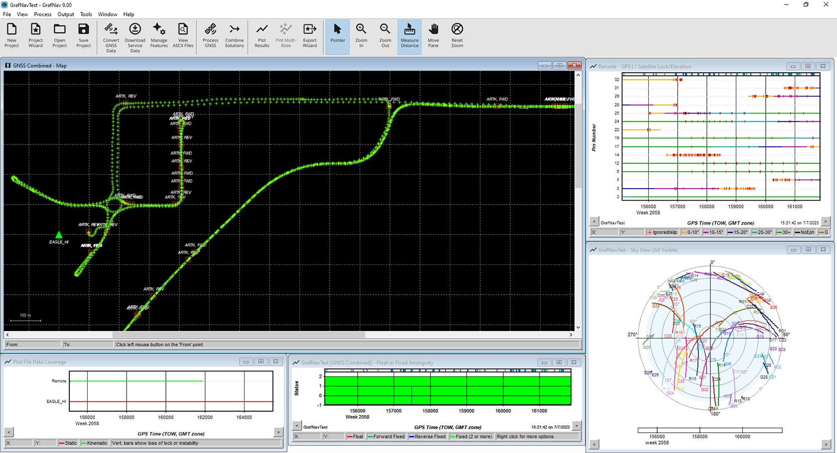
Waypoint’s post-processing software GrafNav is a powerful, highly configurable processing engine that leverages all available GNSS data to produce the most accurate static or kinematic GNSS trajectory. The software is flexible to work within your existing system by supporting generic data formats from third-party single and multi-frequency GNSS receivers. Users can add up to 32 base stations within each project, download precise satellite clock and orbit data from global reference stations across public networks, and achieve centimetre-level position accuracy using precise point positioning (PPP) corrections with kinematic trajectories.

GrafNav screenshot

Features
  • Full support for all major constellations and frequencies including GPS L1/L2/L5, GLONASS L1/L2, BeiDou B1I/B2I/B3I/B1C/B2A, Galileo E1/E5a/E5b and QZSS L1/L2C/L5
  • Support for all major global Geoid models
  • Static and kinematic processing of GNSS data
  • Support for up to 32 base stations per project
  • Compatibility with third-party receivers and generic data formats
  • Improved accuracy through forward and reverse processing, heading determination and moving baseline processing
  • Interpolation of coordinates for station markers and camera trigger events
  • Flexible ASCII Export Wizard included
  • Direct output to Google Earth and DXF formats
  • HTML quality control reports
Benefits
  • Differential GNSS – also known as post-processed kinematic (PPK) – and precise point positioning (PPP) corrections services processing builds GNSS accuracy and reliability 
  • Built-in processing profiles for airborne, ground, pedestrian, UAV and marine projects
  • Streamlined workflows with Project Wizard for quick startup 
  • Built on decades of GNSS expertise from NovAtel
HEXAGON © 2025
  • Cookie Policy
  • Privacy Policy
  • Terms & Conditions
  • Website Terms of Use
  • Cookie Preferences
  • Sitemap
  • Compliance
  • Ethics and compliance reporting system
  • Facebook
  • Twitter
  • Linked In
  • Youtube
  • Instagram